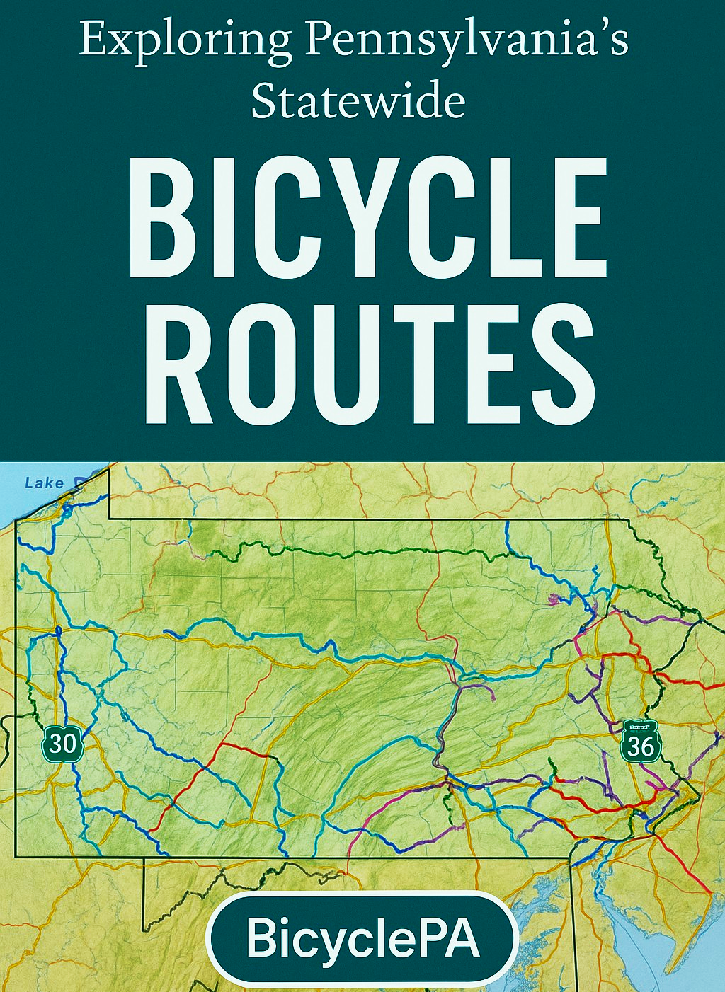
Exploring Pennsylvania’s Statewide Bicycle Routes: A Gateway to Two-Wheeled Adventure
Exploring Pennsylvania’s Statewide Bicycle Routes: A Gateway to Two-Wheeled Adventure
Pennsylvania isn’t just a state of rolling hills, historic towns, and hidden valleys—it’s also home to one of the most extensive signed bicycle route networks in the country. The BicyclePA system, developed by the Pennsylvania Department of Transportation (PennDOT), links urban centers, rural landscapes, and scenic byways into a connected web of on-road and trail-based cycling routes. Whether you’re a long-distance touring cyclist, a weekend adventurer, or someone looking to explore new corners of the Keystone State, this network offers an open invitation to ride.
A Network with Statewide Reach
The BicyclePA system was first developed in the early 2000s to provide safe, scenic, and connected cycling corridors across the state. Today, it includes multiple lettered routes—A, E, G, J, L, S, V, Y, Z, and others—that run hundreds of miles each, connecting Pennsylvania from corner to corner.
Each route is marked with distinctive green-and-white signs, guiding riders through a mix of:
Paved roadways with lower traffic volumes
Dedicated bike paths and rail trails
Shared-use roads where cyclists and drivers coexist
The result is a framework that gives riders confidence to explore without getting lost and offers predictable conditions for planning multi-day or even cross-state rides.
Linking Local Trails to National Systems
Many BicyclePA routes incorporate some of Pennsylvania’s most beloved trails. For example:
Route S uses segments of the Great Allegheny Passage, connecting Pittsburgh with the C&O Canal Towpath toward Washington, D.C.
Route G passes through the Pine Creek Gorge via the Pine Creek Rail Trail, offering breathtaking views in the heart of the Pennsylvania Wilds.
Route E overlaps with the East Coast Greenway, a 3,000-mile project linking Maine to Florida.
Pennsylvania’s network is also being integrated into the U.S. Bicycle Route System (USBRS), making it possible to ride seamlessly from state to state. USBR 30 and USBR 36 already run across the northern tier of the state, using BicyclePA’s established corridors.
A Blend of History and Scenery
One of the most compelling aspects of Pennsylvania’s bicycle routes is their deep connection to the state’s transportation history. Many follow old railroad beds, canal towpaths, and river corridors that once moved goods and people across the state. Today, these paths are repurposed for recreation, allowing cyclists to ride in the shadow of old steel bridges, past restored train stations, and through landscapes largely unchanged for generations.
This mix of historical storytelling and outdoor adventure makes the network more than just a way to get from Point A to Point B—it’s an immersive journey through Pennsylvania’s cultural and natural heritage.
Why the Network Matters
The BicyclePA system is more than just a set of lines on a map. It’s a resource that:
Encourages active tourism and economic development in small towns.
Promotes health and outdoor recreation for residents and visitors alike.
Connects Pennsylvania to a national cycling infrastructure, supporting long-distance travel without the need for a car.
For local communities, a designated state bike route can mean new visitors, new businesses, and a new way to showcase regional beauty.
Your Invitation to Explore
Whether you want to tackle a multi-day cross-state challenge or just ride a portion of a route that passes near your home, Pennsylvania’s bicycle network has an option for you. Over the coming months, we’ll highlight individual BicyclePA routes, share rider tips, and showcase the unique destinations you can reach by bike.
For now, grab a map, pump up your tires, and start looking at the green-and-white signs the next time you’re out on the road—you might be riding on a piece of Pennsylvania’s cycling legacy.